


The Role of Satellites in Modern Farming
- Betty Farmer Charlie
- Aug 20, 2024
- 3 min read
Revolutionizing Agriculture with Space Technology
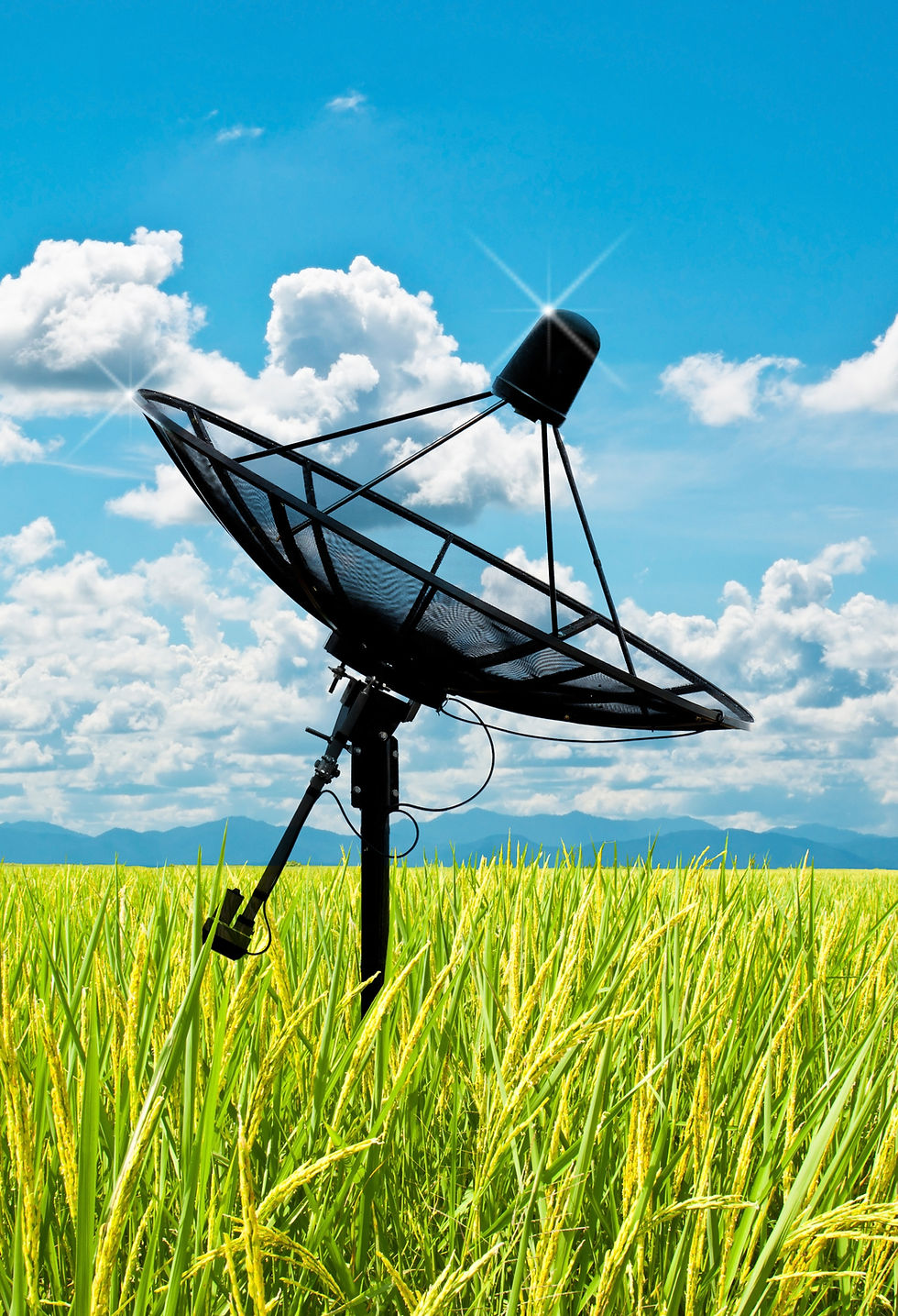
In the rapidly evolving world of agriculture, technology is playing a transformative role in how we cultivate crops and manage farm operations. One of the most impactful innovations in modern farming is the use of satellite technology. By leveraging satellites, farmers can optimize their practices, enhance productivity, and contribute to sustainable agriculture. Here’s a comprehensive look at how satellites are revolutionizing modern farming.
1. Precision Agriculture: Fine-Tuning Farm Management
Satellites are at the heart of precision agriculture, a farming approach that uses data-driven insights to optimize field management. Here’s how satellites contribute to precision farming:
- Remote Sensing: Satellites equipped with remote sensing technology capture high-resolution images of agricultural fields. These images provide detailed information on crop health, soil conditions, and field variability, allowing farmers to make informed decisions about where to apply water, fertilizers, or pesticides.
- Crop Monitoring: Satellite imagery helps monitor crop growth throughout the growing season. By analysing changes in plant colour and density, farmers can detect issues such as nutrient deficiencies, pest infestations, or diseases early on, enabling timely interventions.
- Variable Rate Application: Satellite data allows for variable rate application of inputs like water, fertilizers, and pesticides. By applying resources precisely where they are needed, farmers can reduce waste, improve crop yields, and minimize environmental impact.
2. Improving Irrigation Practices
Water management is a critical aspect of modern farming, and satellites play a crucial role in enhancing irrigation practices:
- Soil Moisture Monitoring: Satellites provide valuable data on soil moisture levels across large areas. This information helps farmers determine the optimal amount of water needed for irrigation, reducing water usage and preventing over- or under-irrigation.
- Drought Management: Satellite-based observations help monitor drought conditions and assess their impact on crops. By understanding drought patterns and soil moisture levels, farmers can better plan irrigation strategies and mitigate the effects of water scarcity.
3. Enhancing Farm Management and Planning
Effective farm management requires accurate and timely information, which satellites can provide:
- Field Mapping: Satellites create detailed maps of farm fields, including topography, soil types, and crop types. These maps assist in planning field operations, optimizing field layouts, and managing crop rotation strategies.
- Yield Prediction: By analysing satellite imagery and historical data, farmers can predict crop yields and plan for harvests more effectively. This helps in making decisions about marketing, storage, and distribution.
- Disaster Response: In the event of natural disasters such as floods, storms, or wildfires, satellite data provides crucial information for assessing damage and planning recovery efforts. Farmers can quickly evaluate the impact on their crops and infrastructure and take appropriate actions.
4. Supporting Sustainable Agriculture
Sustainability is a key focus in modern agriculture, and satellites contribute significantly to sustainable farming practices:
- Environmental Monitoring: Satellites help monitor environmental factors such as deforestation, soil erosion, and water quality. By tracking these factors, farmers can adopt practices that protect natural resources and minimize environmental impact.
- Precision Livestock Farming: Satellites aid in tracking and managing livestock by providing data on pasture conditions and optimizing grazing patterns. This improves animal welfare and reduces the environmental footprint of livestock farming.
- Reducing Chemical Use: With precise data from satellites, farmers can apply chemicals more efficiently, reducing the overall use of fertilizers and pesticides. This not only lowers costs but also minimizes the risk of chemical runoff and pollution.
5. Future Innovations: The Next Frontier in Farming
The integration of satellite technology in agriculture is continuously evolving, with several exciting innovations on the horizon:
- Advanced Sensors: Future satellites will be equipped with more advanced sensors capable of providing even more detailed information on crop health, soil conditions, and atmospheric variables.
- Artificial Intelligence (AI) Integration: Combining satellite data with AI and machine learning algorithms will enhance data analysis and decision-making processes. AI can help identify patterns and make predictions, further improving farm management and productivity.
- Global Connectivity: The growing network of satellite constellations will provide more consistent and reliable coverage, enabling farmers in remote and underserved areas to access critical data and support.
Conclusion
Satellites have become an indispensable tool in modern farming, offering valuable insights that drive precision, efficiency, and sustainability. By leveraging satellite technology, farmers can optimize their practices, manage resources more effectively, and contribute to a more sustainable agricultural future. As technology continues to advance, the role of satellites in farming will only grow, further revolutionizing how we cultivate our food and care for the environment.
🌱🚀 Embracing satellite technology in agriculture is not just a step towards modernization—it's a leap towards a more productive, sustainable, and informed approach to farming.
Comments